January – March
Whales in the bay
Thousands of humpbacks come into the Bahía de Samaná to calve. Boats go out from Santa Bárbara de Samaná; it is one of the most reliable whale sightings anywhere.
Samaná
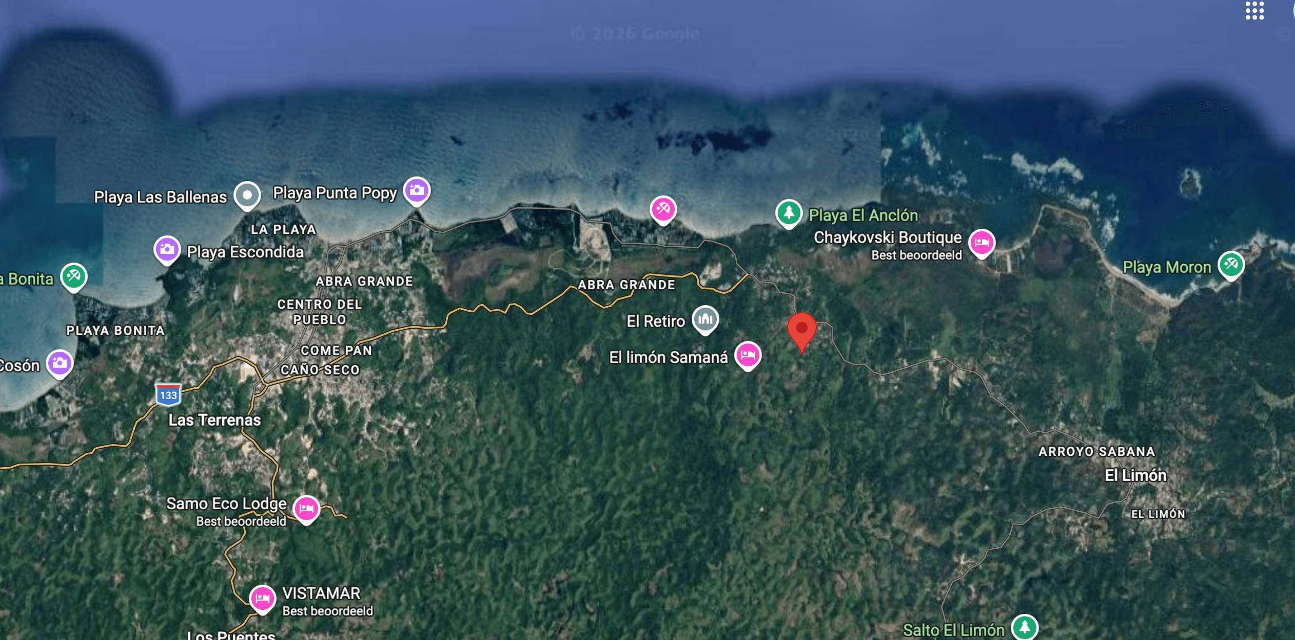
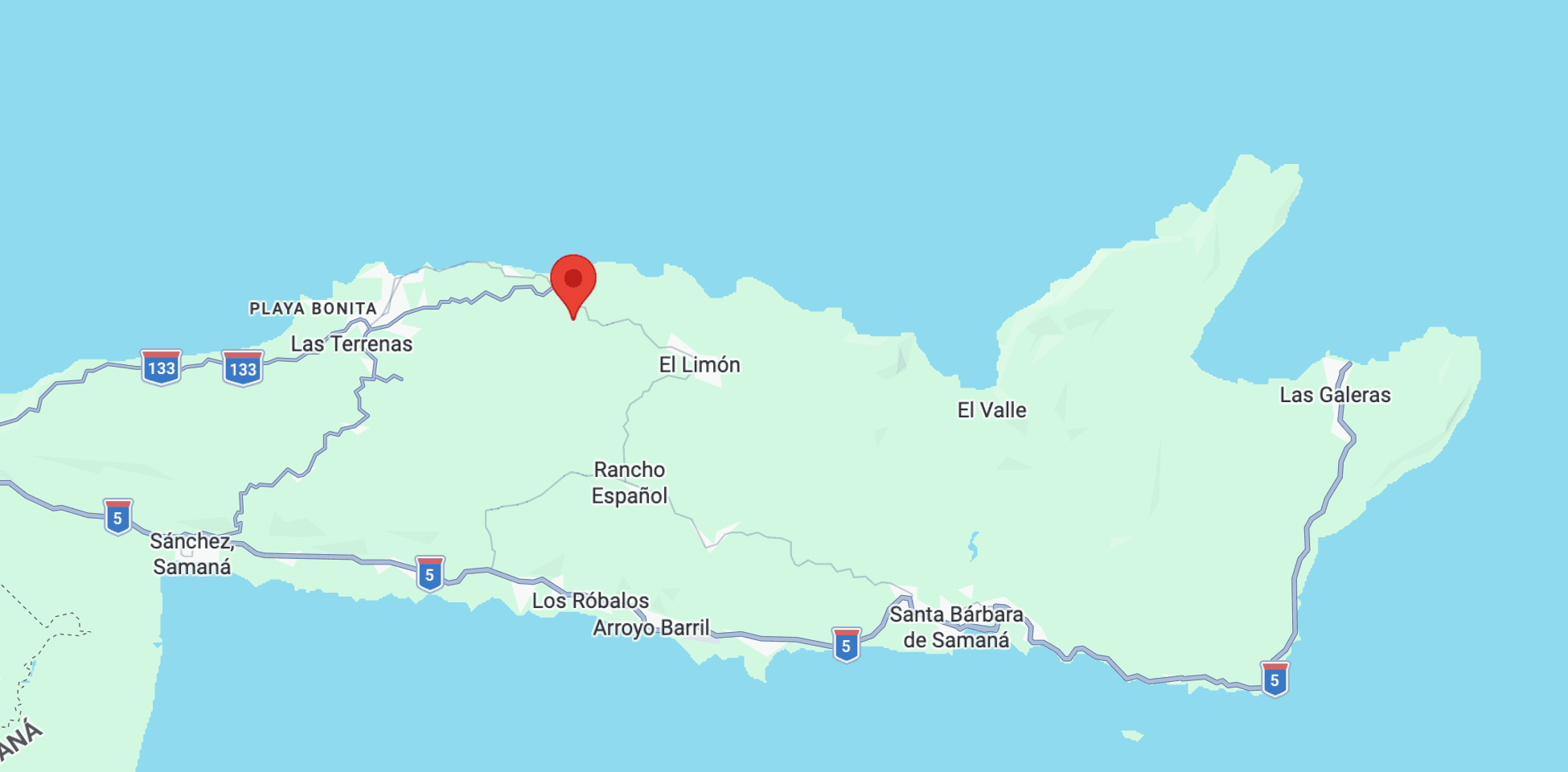
A peninsula of jungle-covered hills between the Atlantic and the Bahía de Samaná. Less built than the south, wetter, greener, and considerably quieter.
Getting here
El Catey (AZS) is the peninsula’s own airport, with seasonal direct flights from Europe and North America. Santo Domingo (SDQ) and Punta Cana (PUJ) are the year-round alternatives, roughly two and a half and four hours away by road.
Restaurants, market, beach town
Quiet cove, almost always empty
Wide sand, surf school, sunsets
50-metre waterfall in the jungle
Direct flights from Europe & North America
Playa Rincón, end of the peninsula
Nearby
January – March
Thousands of humpbacks come into the Bahía de Samaná to calve. Boats go out from Santa Bárbara de Samaná; it is one of the most reliable whale sightings anywhere.
All year
A fifty-metre waterfall about twenty minutes away, reached on foot or on horseback through the hills behind us.
All year
Past Las Galeras at the tip of the peninsula. Regularly listed among the best beaches in the Caribbean, and still mostly empty.
All year
Ten minutes down the hill. A fishing town that turned into a French, Italian and Dominican mix — bakeries, a fish market, and dinner on the sand.